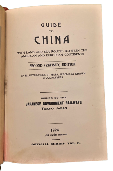
Guide to China with Land and Sea routes between the American and European Continents. Second (Revised) Edition. 174 illustrations, 31 maps, specially drawn 2 colortypes.
Guide to China with Land and Sea routes between the American and European Continents. Second (Revised) Edition. 174 illustrations, 31 maps, specially drawn 2 colortypes. | Livres anciens et modernes | Imperial Japanese Governament Railways
Livres anciens et modernes
Imperial Japanese Governament Railways
Japanese Government Railways,,
1924
240,00 €
(Modena,
Italie)
Mode de Paiement
- PayPal
- Carte bancaire
- Virement bancaire
- Pubblica amministrazione
- Carta del Docente
Détails
- Année
- 1924
- Lieu d'édition
- Tokyo, Japan,
- Auteur
- Imperial Japanese Governament Railways
- Éditeurs
- Japanese Government Railways,
- Langues
- Italien
Description
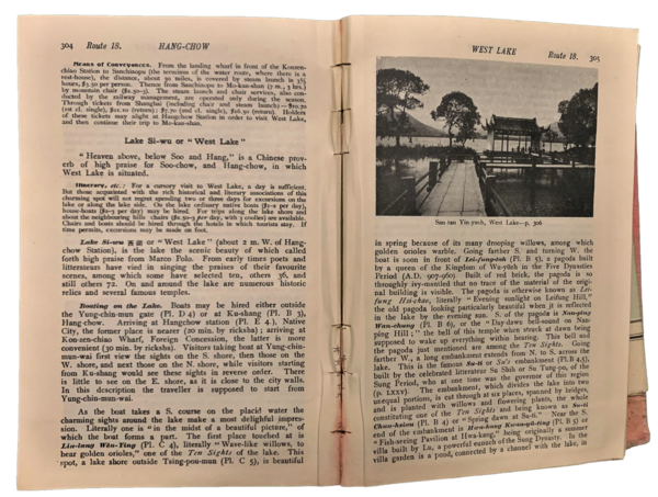
In 8° piccolo (17,8x10,4 cm);(2), XVI, 588 pp., 31 carte, due tavole a colori. Legatura editoriale in piena tela rossa, scolorita da umidità, la cartina posta nella tasca all'ultima pagina, presenta una leggera coloritura rossa passata dalla legatura. All'interno un po' imbarcata ma in buone condizioni di conservazione. Seconda edizione rara, riveduta ed ampliata. Volume D in the series of Official Guide Books ( A and B Japan, C Chosen, Manchuria and Siberia). La prima edizione fu edita nel 1915. Esemplare da studio.
