ST. LOUIS MAP OF KANSAS CITY, MISSOURI AND KANSAS CITY KANSAS
ST. LOUIS MAP OF KANSAS CITY, MISSOURI AND KANSAS CITY KANSAS | Livres anciens et modernes | George F. Cram
Livres anciens et modernes
George F. Cram
ST. LOUIS MAP OF KANSAS CITY, MISSOURI AND KANSAS CITY KANSAS
ST. LOUIS MAP OF KANSAS CITY, MISSOURI AND KANSAS CITY KANSAS | Livres anciens et modernes | George F. Cram
Livres anciens et modernes
George F. Cram
40,00 €
(Foligno,
Italie)
Mode de Paiement
- PayPal
- Carte bancaire
- Virement bancaire
- Pubblica amministrazione
- Carta del Docente
Détails
- Auteur
- George F. Cram
Description
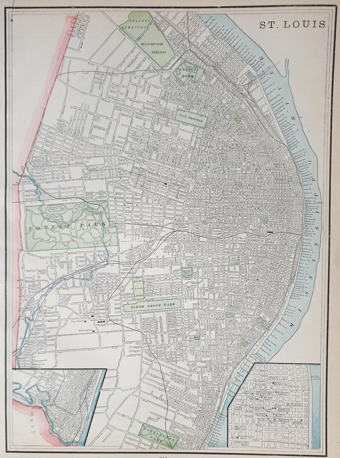
Bellissima mappa colorata di Saint Louis and di Kansas City in Missouri. Al verso mappa colorata di Omaha. Autore: George F. Cram Atlante: Standard American atlas of the world Data: 1890 circa Tecnica: litografia Dimensione del foglio: 36,5x29 cm Dimensione dell'incisione: 34,5x24,5 cm Condizioni:Buone. Very beautiful page coloured map of Kansas In the verso coloured map of Omaha. Author: George F. Cram Atlas: Standard American atlas of the world Date: 1890 circa Technique: lythography Leaf Dimension: 36,5x29 cm Engraving Dimension: 34,5x24,5 cm Conditions: Good conditions.
