Angliae descriptio
Angliae descriptio | Gravures | MÜNSTER SEBASTIAN
Gravures
MÜNSTER SEBASTIAN
1550
Angliae descriptio
Angliae descriptio | Gravures | MÜNSTER SEBASTIAN
Gravures
MÜNSTER SEBASTIAN
1550
350,00 €
(Verona,
Italie)
Mode de Paiement
- PayPal
- Carte bancaire
- Virement bancaire
- Pubblica amministrazione
- Carta del Docente
Détails
- Année
- 1550
- Lieu d'édition
- Basilea
- Graveurs
- MÜNSTER SEBASTIAN
- Thème
- Inghilterra Galles
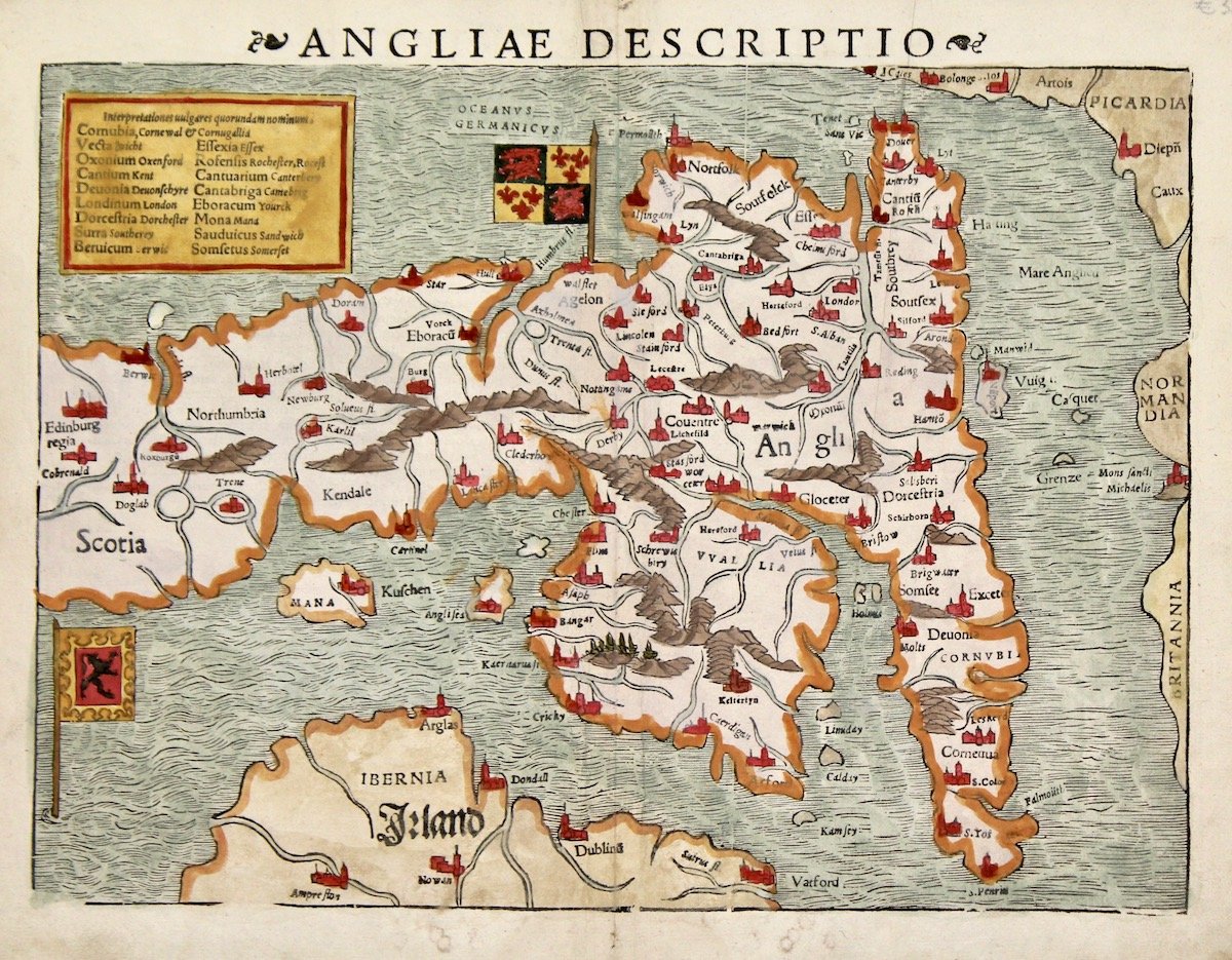
Description
Woodcut, mm 250x340, colored. Very attractive early map of England and Wales that has north oriented to the left. Fairly good condition. This map was a great improvement over previous maps of the region and showed for the first time several city names. It shows the flags of both England and Scotland. From a latin edition of “Cosmographia universalis”, a milestone in cartography, first published in 1544, the earliest German description of the world. About 40 editions of the Cosmographia appeared between 1544 and 1628.
