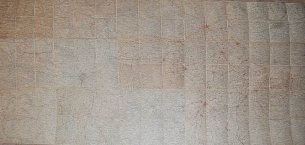
CARTA DEL TERRITORIO FRA TORINO E MILANO. - Scala al 100.000.
Gravures
(1930 ca.)
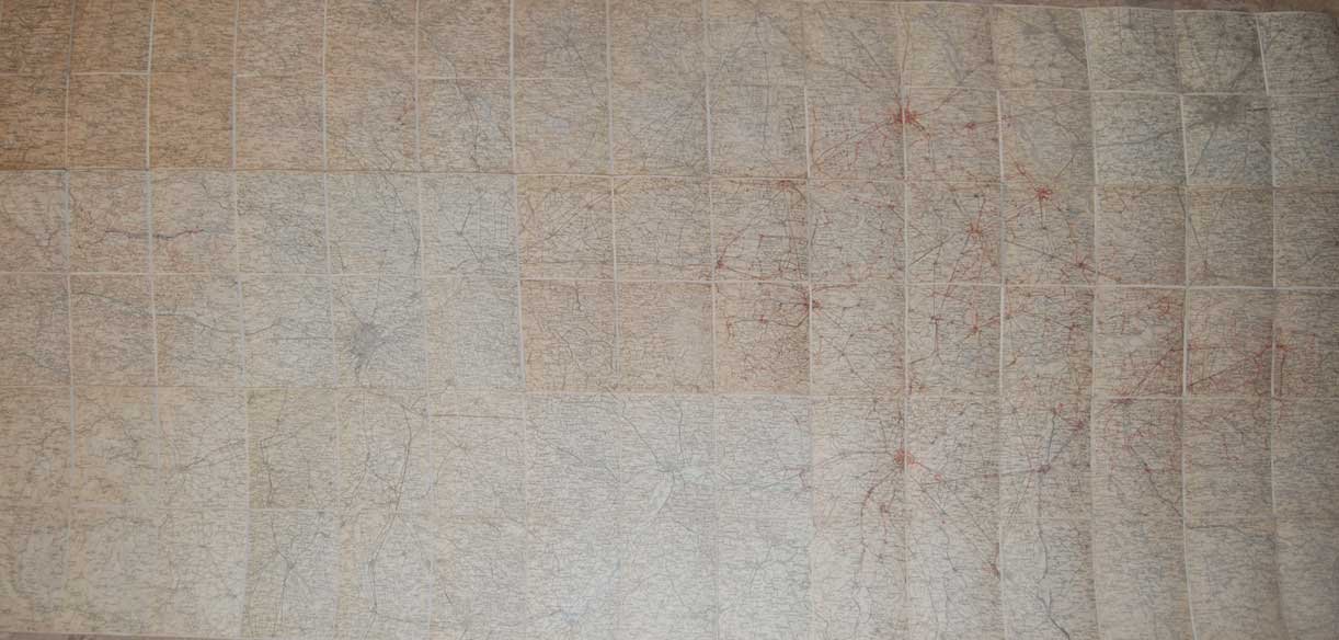
CARTA DEL TERRITORIO FRA TORINO E MILANO. - Scala al 100.000.
Gravures
(1930 ca.)
200,00 €
Mode de Paiement
- PayPal
- Carte bancaire
- Virement bancaire
- Pubblica amministrazione
- Carta del Docente
Détails
- Année
- (1930 ca.)
- Éditeur
- Istituto Geografico Mililtare,
- Thème
- STORIA GEOGRAFIA, TORINO ASTI ALESSANDRIA NOVARA VERCELLI MILANO CARTOGRAFIA
Description
Grande carta geografica a colori, di cm. 112 x 200, montata su tela e suddivisa in 90 riquadri, raffigurante il territorio tra Torino e Milano, con relativi elettrodotti a 130 KV.Buon esemplare.