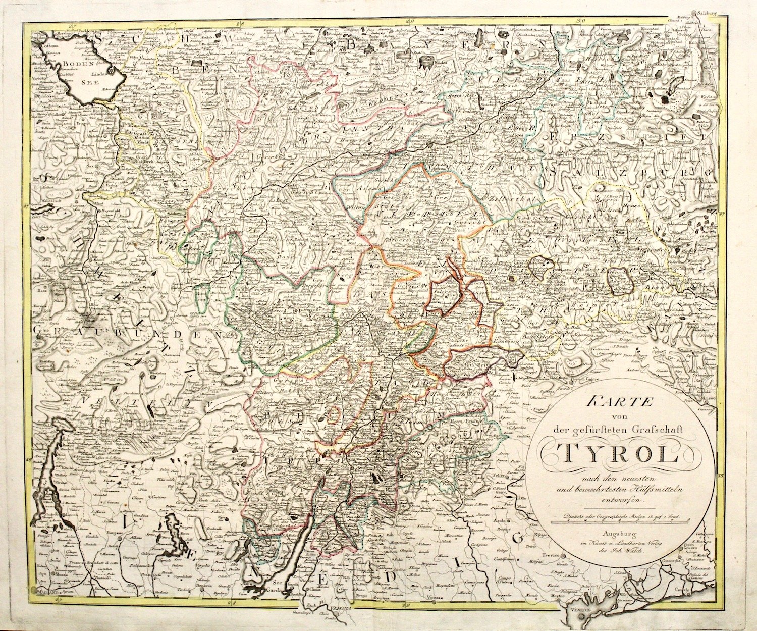
Karte von der gefürsteten Grafschaft Tyrol nach den neuesten und bewaehrtesten Hülfsmitteln entworfen
Karte von der gefürsteten Grafschaft Tyrol nach den neuesten und bewaehrtesten Hülfsmitteln entworfen | Gravures | WALCH JOHANN
Gravures
WALCH JOHANN
1798
Karte von der gefürsteten Grafschaft Tyrol nach den neuesten und bewaehrtesten Hülfsmitteln entworfen
Karte von der gefürsteten Grafschaft Tyrol nach den neuesten und bewaehrtesten Hülfsmitteln entworfen | Gravures | WALCH JOHANN
Gravures
WALCH JOHANN
1798
500,00 €
(Verona,
Italie)
Mode de Paiement
- PayPal
- Carte bancaire
- Virement bancaire
- Pubblica amministrazione
- Carta del Docente
Détails
- Année
- 1798
- Lieu d'édition
- Augsburg
- Graveurs
- WALCH JOHANN
- Thème
- Tirolo
Description
Incisione in rame, mm 480x570, coloritura d'epoca ai confini. Titolo entro tondo a destra in basso. Da "Allgemeiner Atlas".<BR>Ottimo esemplare con buoni margini di questa non comune carta del Tirolo. Tomasi, "Il territorio trentino-tirolese nell'antica cartografia", n. 85 riporta l'edizione precedente del 1797 con il titolo in alto.<BR>Copperplate, original colour, from "Allgemeiner Atlas". Title in a circle in the right bottom corner,<BR>mm 480x570. A scarce german map of Tirol. Very good condition, good margins. Tomasi, "Il territorio trentino-tirolese nell'antica cartografia", n. 85 (but an earlier state with title above the map) <BR>
