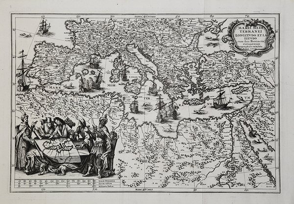
Maris Mediterranei Longitudo et Latitudo cum suis Provinciis Circumvicinis.
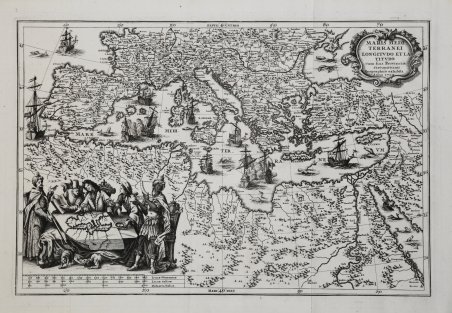
Maris Mediterranei Longitudo et Latitudo cum suis Provinciis Circumvicinis.
Mode de Paiement
- PayPal
- Carte bancaire
- Virement bancaire
- Pubblica amministrazione
- Carta del Docente
Détails
- Année
- 1700
- Lieu d'édition
- Norimberga
- Format
- 350 X 235
- Graveurs
- SCHERER Henrick
Description
Pubblicata nell'opera di Heinrich Scherer "Atlas Novus exhibens orbem terraguem per naturae opera, historiae navae acveterus monumenta, artistique geographicae leges et praecepta." edito in 8 parti, dal 1702 al 1710.Incisione su rame, in ottimo stato di conservazione. A very attractive map of the Mediterranean showing the countires bordering it with their respective cities. With depictions of warring battleships and an attractive vignette in the left hand corner showing geographers of various countries and races, disputing over the construction of a map of the Mediterranean.Taken from Heinrich Scherer "Atlas Novus exhibens orbem terraguem per naturae opera, historiae navae acveterus monumenta, artistique geographicae leges et praecepta.".Very good condition. Cfr.