Papua or New Guinea
Gravures
Admiralty Charts
Papua or New Guinea
Gravures
Admiralty Charts
150,00 €
(Gavirate,
Italie)
Mode de Paiement
- PayPal
- Carte bancaire
- Virement bancaire
- Pubblica amministrazione
- Carta del Docente
Détails
- Format
- mm 642x960
- Edition
- '900
- Designers
- Admiralty Charts
Description
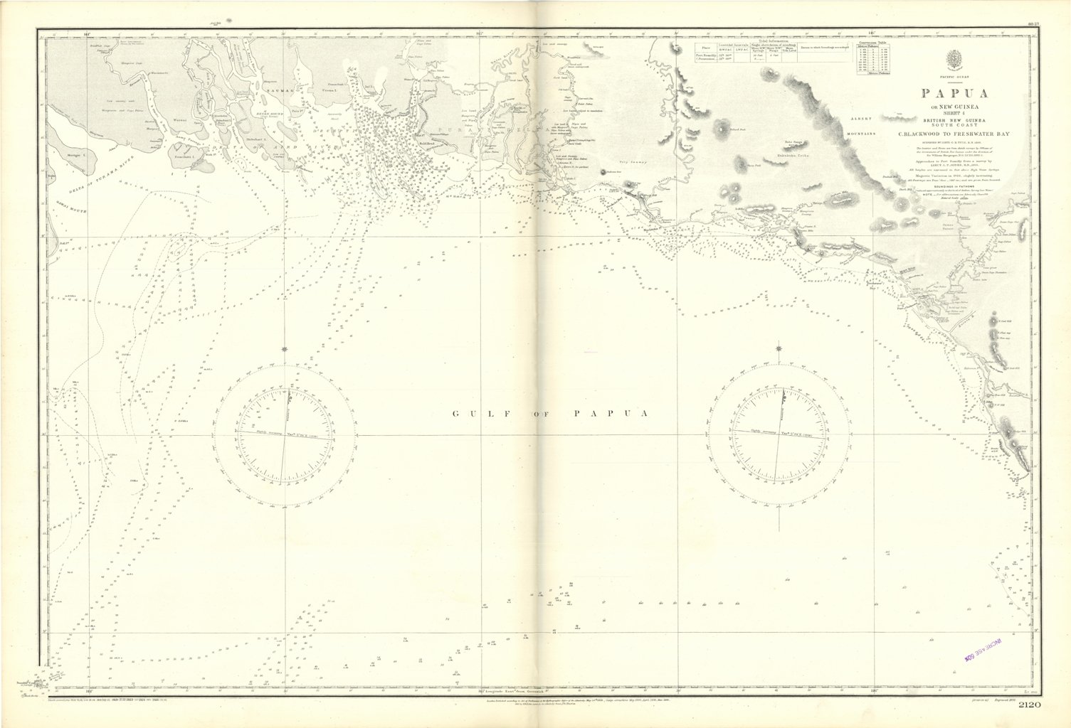
Papua or New Guinea - sheet 4 - British New Guinea South Coast C. Blackwood to Freshwater Bay surveyed by Lieut. C.B. Yule, 1846. The Interior and Rivers are from Sketch surveys by Officers of the Government of British New Guinea under the direction of Sir William Macgregor, 1892-3. Approaches to Port Romilly from a survey by Lieut. L.T. Jones, 1914. London Published according to Act of Parliament at the Hydrographic Office of the Admiralty May 24th 1852. Small corrections: 1926. Editorially folded
Anno di pubblicazione: '900