Old Ordnance Survey Maps : Bethnal Green & Bow 1914 : London Sheet 52
Old Ordnance Survey Maps : Bethnal Green & Bow 1914 : London Sheet 52 | Libri antichi e moderni | Mander, David
Libri antichi e moderni
Mander, David
Alan Godfrey Maps,
1993
Old Ordnance Survey Maps : Bethnal Green & Bow 1914 : London Sheet 52
Old Ordnance Survey Maps : Bethnal Green & Bow 1914 : London Sheet 52 | Libri antichi e moderni | Mander, David
Libri antichi e moderni
Mander, David
Alan Godfrey Maps,
1993
4,95 €
(Hyde,
Regno Unito)
Metodi di Pagamento
- PayPal
- Carta di Credito
- Bonifico Bancario
- Pubblica amministrazione
- Carta del Docente
Dettagli
- Anno di pubblicazione
- 1993
- ISBN
- 0850545803
- Luogo di stampa
- Consett
- Autore
- Mander, David
- Editori
- Alan Godfrey Maps
- Formato
- 8.25 x 4.75 inches
- Soggetto
- Historical Maps, London
- Descrizione
- S
- Sovracoperta
- False
- Stato di conservazione
- In ottimo stato
- Lingue
- Inglese
- Legatura
- Brossura
- Copia autografata
- False
- Prima edizione
- False
Descrizione
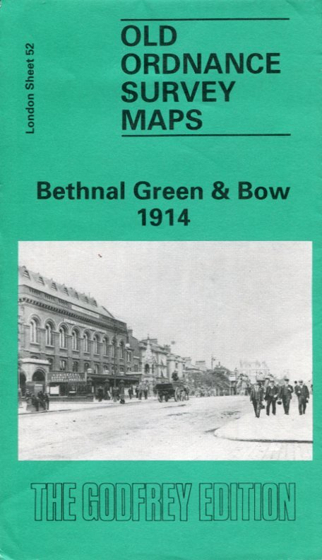
No marks or inscriptions. A very clean very tight fold-out map with bright unmarked uncreased cover and no bumping to corners. pp. Map of the Bethnal Green and Bow areas of London from 1914. Detailed description on reverse side.
