Decorative Printed Map of the 15th to 18th Centuries
Decorative Printed Map of the 15th to 18th Centuries | Libri antichi e moderni | Skelton, R. A.
Libri antichi e moderni
Skelton, R. A.
Spring Books,
1965


Decorative Printed Map of the 15th to 18th Centuries
Decorative Printed Map of the 15th to 18th Centuries | Libri antichi e moderni | Skelton, R. A.
Libri antichi e moderni
Skelton, R. A.
Spring Books,
1965
5,75 €
(Hyde,
Regno Unito)
Metodi di Pagamento
- PayPal
- Carta di Credito
- Bonifico Bancario
- Pubblica amministrazione
- Carta del Docente
Dettagli
- Anno di pubblicazione
- 1965
- Luogo di stampa
- London
- Autore
- Skelton, R. A.
- Editori
- Spring Books
- Formato
- 11 x 8.75 inches
- Soggetto
- Geography, History, Maps
- Descrizione
- No Jacket
- Descrizione
- H
- Sovracoperta
- False
- Stato di conservazione
- Molto buono
- Lingue
- Inglese
- Legatura
- Rilegato
- Copia autografata
- False
- Prima edizione
- False
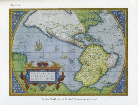
Descrizione
Ex-library book with usual (minimal) marks and stamps. Light foxing to last few pages. No other marks or inscriptions. No creasing to covers or to spine. A very clean very tight copy in a library binding with very slightly marked boards, bumping to lower edge and minor rubbing to corners. All maps in excellent condition. 84 plates of maps plus text on 80pp. This book serves as a resource of specimens of maps and as an elementary guide to the study of maps printed from wood blocks or copper plates between the 15th and the 18th centuries.
