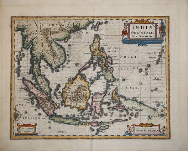
Indiae Orientalis Nova Descriptio
Indiae Orientalis Nova Descriptio | Stampe | JANSSONIUS Johannes

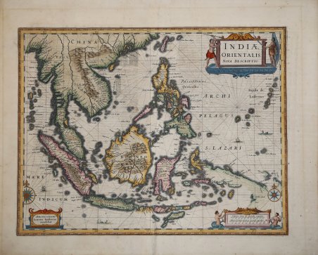
Indiae Orientalis Nova Descriptio
Indiae Orientalis Nova Descriptio | Stampe | JANSSONIUS Johannes
Metodi di Pagamento
- PayPal
- Carta di Credito
- Bonifico Bancario
- Pubblica amministrazione
- Carta del Docente
Dettagli
- Anno di pubblicazione
- 1640
- Luogo di stampa
- Amsterdam
- Formato
- 500 X 390
- Incisori
- JANSSONIUS Johannes
- Descrizione
- C. Quirino, Philippine Cartography, p. 104
Descrizione
Importante carta del Sud-Est Asiatico tratto dal Atlas del Janssonius, degna di nota per essere tra le prime mappe a includere informazioni riguardo le scoperte fatte dalla nave olandese Duyfkens in Nuova Guinea e nel Golfo di Carpentaria nel 1605-6.La mappa include anche la Malesia, il Vietnam, le isole dell'India orientale, le Filippine e la Cina meridionale fino all'estuario del Fiume delle Perle.Incisione in rame, finemente colorata a mano, in ottime condizioni. An important map of South East Asia, noteworthy for being amongst the first maps to include any information on the discoveries made by the Dutch vessel Duyfkens in New Guinea and the Gulf of Carpentaria in 1605-6. The map also includes Malaysia, Vietnam, the East India Islands, Philippines and Southern China as far as the Pearl River estuary.After Mercator's death, Jodocus Hondius continued publication of Gerhard Mercator's "Atlas" project from 1606 when he engraved new, and republished earlier, maps by the great cartographer. These maps formed the basis for one of the major multi-volume atlas projects of the century with maps republished by Jan Jansson and other Dutch publishers over 50 years later. This map, from a Latin text edition, was engraved by Jan Jansson and published from 1630. Copperplate, with fine later hand colour, very good condition. Cfr. C. Quirino, Philippine Cartography, p. 104
