Plans in the Natuna Islands
Plans in the Natuna Islands | Stampe | Admiralty Charts
Stampe
Admiralty Charts
Plans in the Natuna Islands
Plans in the Natuna Islands | Stampe | Admiralty Charts
Stampe
Admiralty Charts
150,00 €
(Gavirate,
Italia)
Metodi di Pagamento
- PayPal
- Carta di Credito
- Bonifico Bancario
- Pubblica amministrazione
- Carta del Docente
Dettagli
- Formato
- mm 607x975
- Edizione
- '900
- Disegnatori
- Admiralty Charts
Descrizione
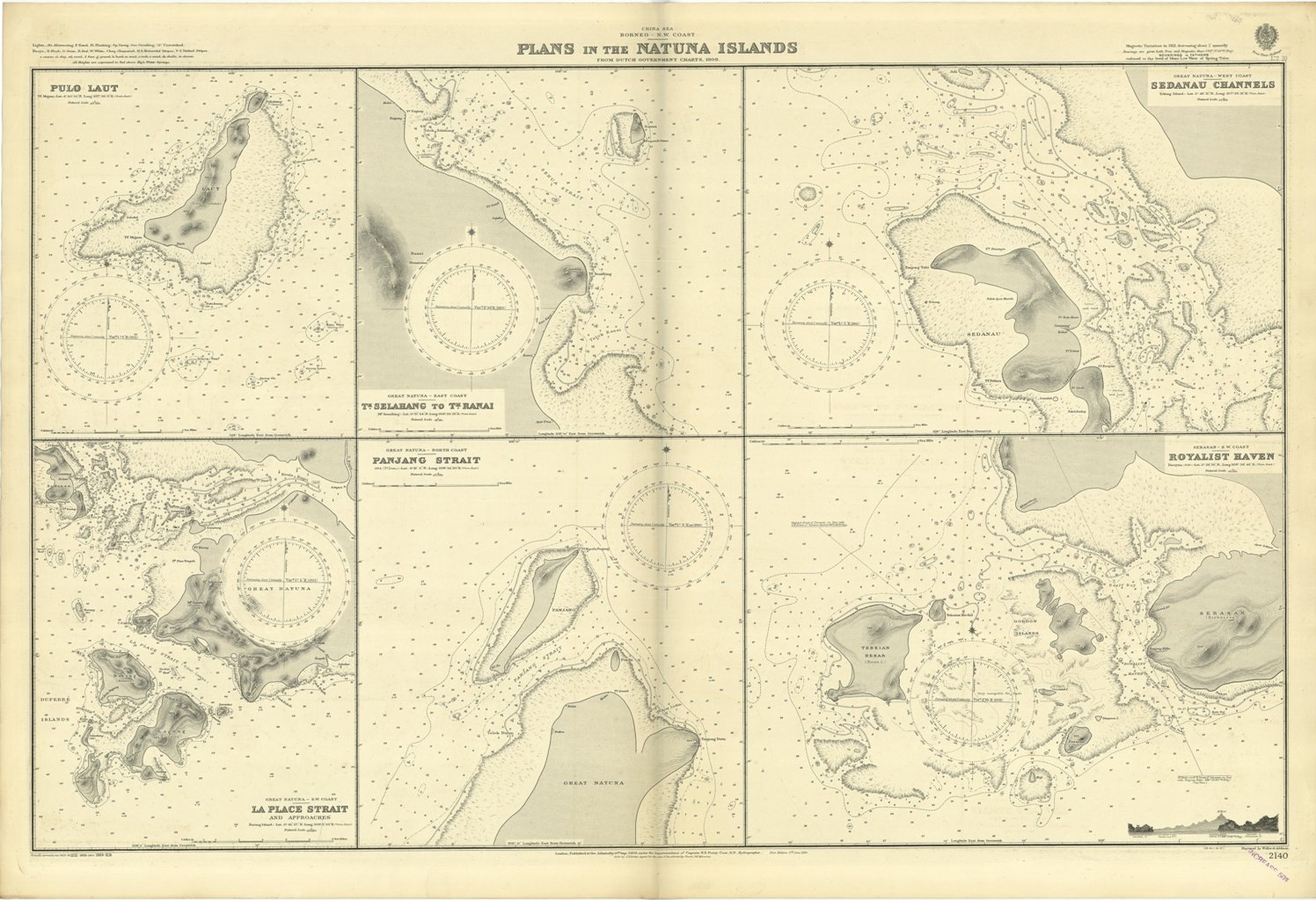
Plans in the Natuna Islands from Dutch Government Charts, 1908.Magnetic Variation in 1921, decreasing about I annually.In the left side of the chart insert of Pulo Laut and La Place Strait and approaches. In the middle insert of T.k Selahang to T.k Ranai and Panjang Strait. In the right side insert of Sedanau Channels and Royalist Haven.London Published at the Admiralty, 10th Sept. 1909, under the Superintendence of Captain H.E. Purey-Cust, Hydrographer. Small corrections: 1929. Editorially folded
Anno di pubblicazione: '900
