Cruchley's Railway and Station Map of the County of Bedford. Improved Edition. Sixpence Coloured. [Scale line: 4 inches to 7 miles]. BRIGHT, CLEAN COPY OF THE 1882[?] ISSUE
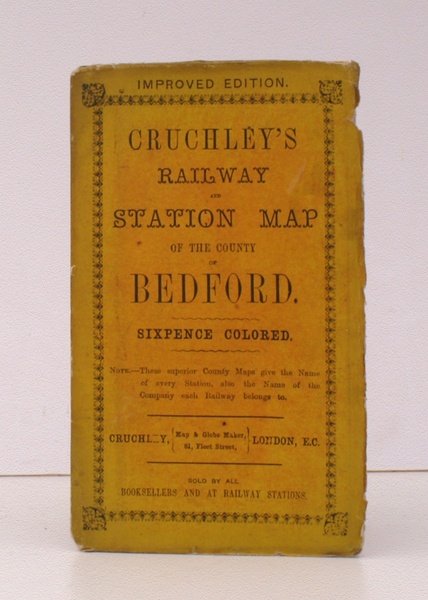
Cruchley's Railway and Station Map of the County of Bedford. Improved Edition. Sixpence Coloured. [Scale line: 4 inches to 7 miles]. BRIGHT, CLEAN COPY OF THE 1882[?] ISSUE
Formas de Pago
- PayPal
- Tarjeta de crédito
- Transferencia Bancaria
- Pubblica amministrazione
- Carta del Docente
Detalles
- Año de publicación
- 1882
- Autor
- G.F.Cruchley
- Editores
- Gall & Inglis
- Materia
- topography, cartography, maps, cruchley, bedfordshire, beds, bedfords, railways, railway maps
- Idiomas
- Inlgés
Descripción
Folding map coloured in outline on paper measuring 23 x 21 ins (approx. 58 x 53 cms) folding in 18 panels to 7.0 x 4.0 ins (approx. 17.7 x 10.1 cms), a few short tears at fold edges; original pictorial card wrappers, wrapper fore-edges frayed else a very good, bright, clean copy. 'Improved from the Ordnance Surveys, these superior County Maps give the Name of every Station, also the Name of the Company each Railway belongs to'. Cruchley began publishing their Railway maps in the early 1870s. There were usually several versions of each map from different publishers; the Gall & Inglis issues appear to date from the 1880s. Map features include lat/long scales; scale line; rivers; relief; hill hatching; woods/forests/parks; county; roads, railways; telegraphs. EXTREMELY SCARCE.