Libros antiguos y modernos
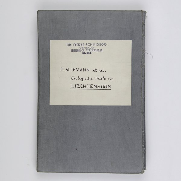
Allemann, F.
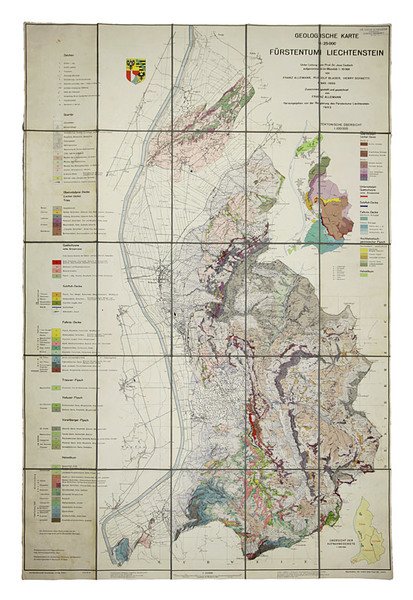
Geologische Karte Fürstentum Liechtenstein.
450,00 €
Schierenberg Bookshop Antiquariaat
(Amsterdam, Países Bajos)
Los gastos de envío correctos se calculan una vez añadida la dirección de envío durante la creación del pedido. El vendedor puede elegir uno o varios métodos de envío: standard, express, economy o in store pick-up.
Condiciones de envío de la Librería:
Para los productos con un precio superior a 300 euros, es posible solicitar un plan de pago a plazos al Maremagnum. El pago puede efectuarse con Carta del Docente, Carta della cultura giovani e del merito, Administración Pública.
Los plazos de entrega se estiman en función de los plazos de envío de la librería y del transportista. En caso de retención aduanera, pueden producirse retrasos en la entrega. Los posibles gastos de aduana corren a cargo del destinatario.
Pulsa para saber másFormas de Pago
- PayPal
- Tarjeta de crédito
- Transferencia Bancaria
-

-
 Descubre cómo utilizar
tu Carta del Docente -
 Descubre cómo utilizar
tu Carta della cultura giovani e del merito