Narrative of an Expedition to the Zambesi and Its Tributaries: And of the Discovery of the Lakes Shirwa and Nyassa- 1858-1864
Narrative of an Expedition to the Zambesi and Its Tributaries: And of the Discovery of the Lakes Shirwa and Nyassa- 1858-1864
Formas de Pago
- PayPal
- Tarjeta de crédito
- Transferencia Bancaria
- Pubblica amministrazione
- Carta del Docente
Detalles
- Año de publicación
- 1866
- Lugar de impresión
- New York
- Autor
- Livingstone,David, Livingstone, Charles
- Editores
- Harper & Brothers Publishers
- Formato
- 8vo - over 7¾" - 9¾" tall
- Edición
- F First American Edition
- Materia
- Livingstone, David, Livingstone, Charles Narrative of an Expedition to the Zambesi and Its, Tributaries: And of the Discovery of the Lakes Shirwa and, Nyassa- 1858-1864 Slavery History river systems, natural productions, and capabilities, and to bring before my countrymen, and all others interested in the cause of humanity, the misery entailed by the slave-trade in its inland phases - a, subject on which I and my companions are the first who have had, any opportunities of forming a judgement." - from Preface., "There must be something in the appearance of white men, frightfully repulsive to the unsophisticated natives of Africa, for, on entering villages previously unvisited by Europeans, if we met a child. he would take to his heels in an agony of, terror, such as we might feel if we met a live Egyptian mummy at the, door of the British Museum." - from page 199. Fold-out map, measures 24" wide by 17" high and is entitled "The River Shire, The Lakes Nyassa & Shirwa, The Lower Courses of the Rivers Zambesi & Rovuma" - based on the, Astronomical observations and sketches of Dr. Livingstone, Constructed by John Arrowsmith, 1865. Travel, Exploration & Adventure Africa Antiquarian
- Descripción
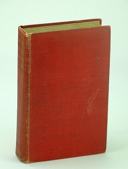
- H Hardcover
- Conservación
- Bueno
- Idiomas
- Inlgés
- Encuadernación
- Tapa dura
- Primera edición
- True
Descripción
xxii, 638, 6 (ads) pages. Fold-out map. Occasional black and white illustrations. "It has been my object in this work to give as clear an account as I was able of tracts of country previously unexplored, with their river systems, natural productions, and capabilities; and to bring before my countrymen, and all others interested in the cause of humanity, the misery entailed by the slave-trade in its inland phases - a subject on which I and my companions are the first who have had any opportunities of forming a judgement." - from Preface. "There must be something in the appearance of white men frightfully repulsive to the unsophisticated natives of Africa; for, on entering villages previously unvisited by Europeans, if we met a child. he would take to his heels in an agony of terror, such as we might feel if we met a live Egyptian mummy at the door of the British Museum." - from page 199. Fold-out map measures 24" wide by 17" high and is entitled "The River Shire, The Lakes Nyassa & Shirwa, The Lower Courses of the Rivers Zambesi & Rovuma" - based on the Astronomical observations and sketches of Dr. Livingstone, Constructed by John Arrowsmith, 1865. The routes of Dr. Livingstone and the Officers of the expedition are indicated in red. Map bears one inch opening along left side. Book has been recased in red buckram with new beige endpapers. Binding sound. Average wear. Unmarked. Lettering upon spine rubbed but legible. A quality copy. Book
ISBN: B000NGRQBC