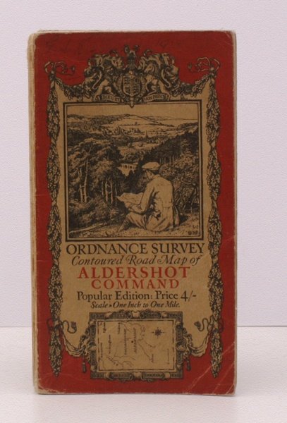
Ordnance Survey Contoured Road Map of Aldershot Command. Popular Edition. Scale: One Inch to One Mile. BRIGHT, CLEAN COPY OF THE ALDERSHOT COMMAND 1925 ISSUE
Libros antiguos y modernos
Ordnance Survey
Ordnance Survey, Southampton,
1925
Ordnance Survey Contoured Road Map of Aldershot Command. Popular Edition. Scale: One Inch to One Mile. BRIGHT, CLEAN COPY OF THE ALDERSHOT COMMAND 1925 ISSUE
Libros antiguos y modernos
Ordnance Survey
Ordnance Survey, Southampton,
1925
80,50 €
(Devon,
Reino Unido)
Formas de Pago
- PayPal
- Tarjeta de crédito
- Transferencia Bancaria
- Pubblica amministrazione
- Carta del Docente
Detalles
- Año de publicación
- 1925
- Autor
- Ordnance Survey
- Editores
- Ordnance Survey, Southampton
- Materia
- topography, cartography, maps, ordnance survey, aldershot, aldershot command
- Idiomas
- Inlgés
Descripción
Folding coloured map on cloth measuring 35 x 27 ins (approx. 89 x 69 cms) folding in 35 panels to 7.0 x 4.0 ins (approx. 17.7 x 10.1 cms), Command Area outlined in red, a few short tears at folds; original pictorial card wrappers, a very good, bright, clean copy The One-Inch Popular Aldershot Command map was first issued in 1920, with minor corrections in the reissue of 1924. This is the 1925 issue, or third overall. The cover is Ellis Martin's 'cyclist on hillside' in dark red and black with location map. ONE OF THE FEW ONE-INCH POPULAR EDITION ISSUED WITHOUt SHEET NUMBER. EXTREMELY SCARCE. Browne, 11.2.a.