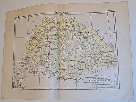
Sketch Map Showing the Administrative and Political Divisions of the Dominions of the Hungarian Crown According to Article XXXIII of the Legislature of the Year 1876
Libros antiguos y modernos
Author Not Stated
Publisher Not Stated,
1902
Sketch Map Showing the Administrative and Political Divisions of the Dominions of the Hungarian Crown According to Article XXXIII of the Legislature of the Year 1876
Libros antiguos y modernos
Author Not Stated
Publisher Not Stated,
1902
139,95 €
(Ladysmith,
Canadá)
Formas de Pago
- PayPal
- Tarjeta de crédito
- Transferencia Bancaria
- Pubblica amministrazione
- Carta del Docente
Detalles
- Año de publicación
- 1902
- Lugar de impresión
- UK
- Autor
- Author Not Stated
- Editores
- Publisher Not Stated
- Formato
- Folio - over 12" - 15" tall
- Edición
- Reprint
- Materia
- Sketch Map Showing the Administrative and Political Divisions of, the Dominions of the Hungarian Crown According to Article XXXIII, of the Legislature of the Year 1876 Maps
- Descripción
- Map
- Conservación
- Muy bueno
- Idiomas
- Inlgés
- Primera edición
- False
Descripción
Outside dimensions 14.5" x 10.5". Circa 1902. Centerfold. Light wear. Bit of soiling along top edage. Please see our photo for details. Book