STANFORD’S NEW LARGE SCALE MAP OF THE SEAT OF WAR IN SOUTH AFRICA OCTOBER 1899 SECOND EDITION WITH HILLS
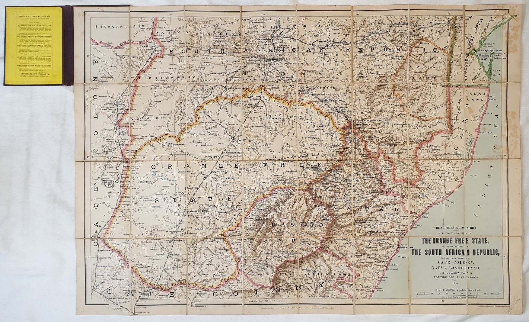
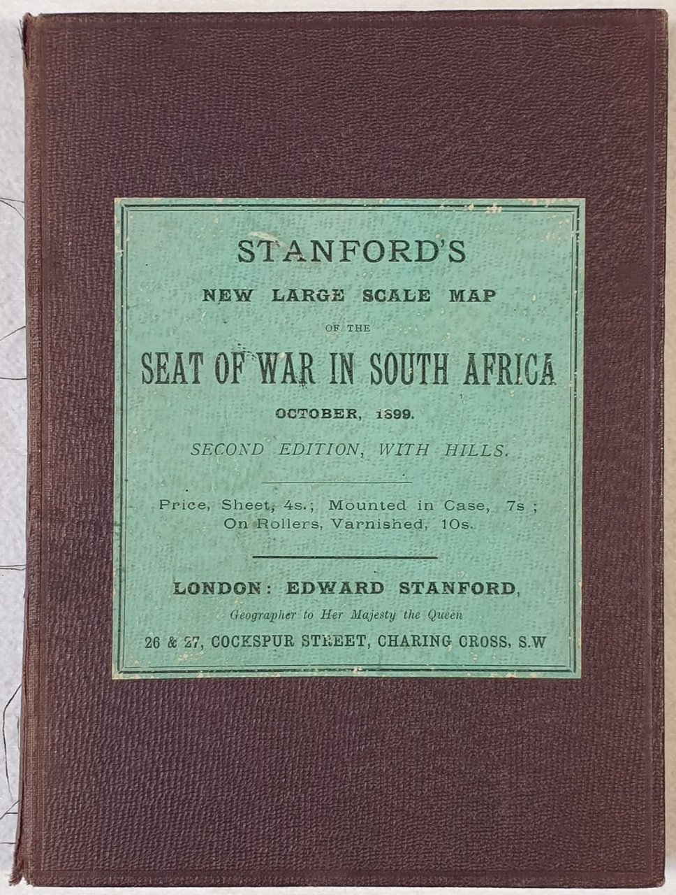
STANFORD’S NEW LARGE SCALE MAP OF THE SEAT OF WAR IN SOUTH AFRICA OCTOBER 1899 SECOND EDITION WITH HILLS
Formas de Pago
- PayPal
- Tarjeta de crédito
- Transferencia Bancaria
- Pubblica amministrazione
- Carta del Docente
Detalles
- Año de publicación
- 1899
- Lugar de impresión
- LONDON
- Autor
- Edward Stanford (1827 1904)
- Editores
- EDWARD STANFORD
Descripción
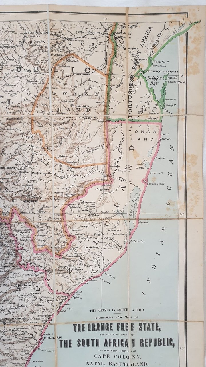
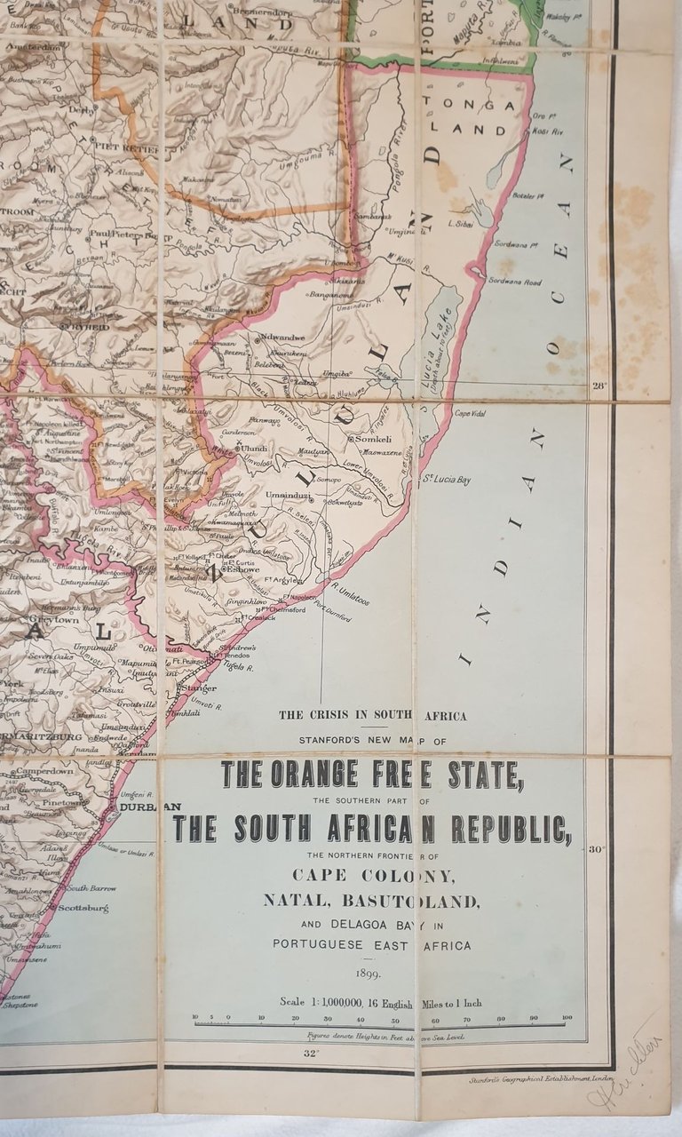
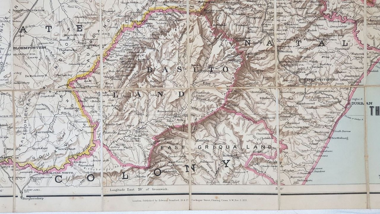
Mappa telata a colori del 1899 sulla Guerra del Sud Africa di Edward Stanford (1827 1904), editorie e cartografo. KLa mappa mostra l'Orange free state e la parte meridionale della Repubblica Sud africana, il confien nord della Cape Colony, Natal, Basutoland e Delagoa Bay. Accurata rappresentazione di montagne e colline. Autore: Edward Stanford (1827 1904) Data: 1899 Dimensione del foglio: 68,5x98,5 cm Dimensione dell'incisione: 65x93,5 cm Condizioni: Buone. Rare fioriture. Piegature editorialiCloth coloured map issued in 1899 about the War of South Africa by Edward Stanford (1827 1904), map maker and publisher. The map shows the Orange free state and the southern part of the South African Republic, the northern frontier of Cape Colony, Natal, Basutoland and Delagoa Bay.Carefully depiction of streets and hills. Author: Edward Stanford (1827 1904) Date: 1899 Leaf Dimension: 68,5x98,5 cm (27x38.8 inches) Engraving Dimension: 65x93,5 cm (25.6x36.8 inches) Conditions: Good conditions. Occasional foxing. Editorial foldings