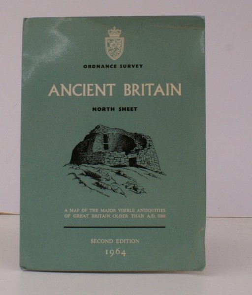
Ancient Britain. North Sheet. A Map of the major visible Antiquities of Great Britain older than AD. 1066. Second Edition NEAR FINE COPY
Ancient Britain. North Sheet. A Map of the major visible Antiquities of Great Britain older than AD. 1066. Second Edition NEAR FINE COPY | Libros antiguos y modernos | Ordnance Survey
Libros antiguos y modernos
Ordnance Survey
Ordnance Survey, Southampton,
1964
13,80 €
(Devon,
Reino Unido)
Formas de Pago
- PayPal
- Tarjeta de crédito
- Transferencia Bancaria
- Pubblica amministrazione
- Carta del Docente
Detalles
- Año de publicación
- 1964
- Autor
- Ordnance Survey
- Editores
- Ordnance Survey, Southampton
- Materia
- topography, cartography, maps, ancient britain, north sheet
- Idiomas
- Inlgés
Descripción
Folding coloured map on paper measuring 32 x 40.00 ins (approx. 81.25 x 101.5 cms) folding in 28 panels to 8.25 x 6.0 ins (approx. 17.75 x 15.25 cms); original pictorial card wrappers, wrappers very lightly rubbed else a near fine copy.
