Survey of Israel. MAP OF TEL-AVIV. Scale 1:10.000.
Survey of Israel. MAP OF TEL-AVIV. Scale 1:10.000. | Libros antiguos y modernos | [Anonimo]
Libros antiguos y modernos
[Anonimo]
Survey of Israel,
1950
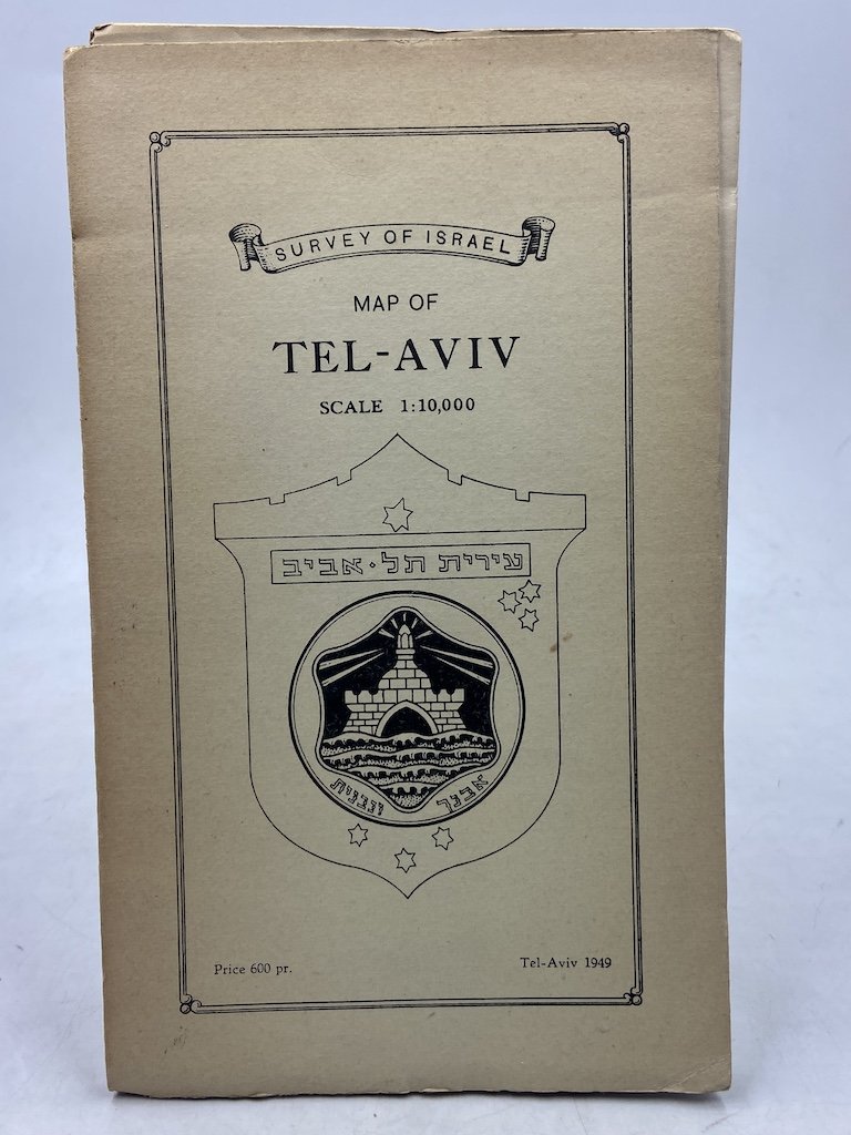
Survey of Israel. MAP OF TEL-AVIV. Scale 1:10.000.
Survey of Israel. MAP OF TEL-AVIV. Scale 1:10.000. | Libros antiguos y modernos | [Anonimo]
Libros antiguos y modernos
[Anonimo]
Survey of Israel,
1950
75,00 €
(Torino,
Italia)
Formas de Pago
- PayPal
- Tarjeta de crédito
- Transferencia Bancaria
- Pubblica amministrazione
- Carta del Docente
Detalles
- Año de publicación
- 1950
- Lugar de impresión
- Tel Aviv
- Autor
- [Anonimo]
- Editores
- Survey of Israel
- Materia
- Cartografia, Israele, palestina
- Descripción
- Buono stato di conservazione. Cardboard platea are glued a little off-center. Overall in good condition.
- Idiomas
- Italiano
Descripción
Carta topografica di Tel Aviv alla scala 1:10.000, cm 77x86, a colori, entro due faccette in brossura cm 21x13. In copertina datata 1949, ma con indicazione Compiled, printed and drawn by The Survey of Israel, Ministry of Labour and Social Security, January 1950. Revised from Air Photos (Air Force) dated 1949.
