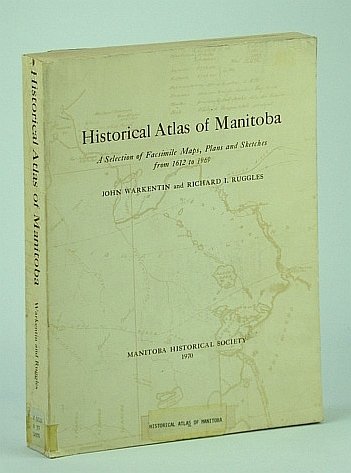
Historical Atlas of Manitoba - A Selection of Facsimile Maps, Plans and Sketches from 1612 to 1969
Historical Atlas of Manitoba - A Selection of Facsimile Maps, Plans and Sketches from 1612 to 1969 | Rare and modern books | Warkentin, John, Ruggles, Richard I.
Rare and modern books
Warkentin, John, Ruggles, Richard I.
Manitooba Historical Society,
1970
149.95 €
(Ladysmith,
Canada)
Payment methods
- PayPal
- Credit card
- Bank transfer
- Pubblica amministrazione
- Carta del Docente
Details
- Year of publication
- 1970
- Place of printing
- Canada
- Author
- Warkentin, John, Ruggles, Richard I.
- Publishers
- Manitooba Historical Society
- Size
- 4to - over 9¾" - 12" tall
- Edition
- F First Edition
- Keyword
- Maps History Manitoba Atlas Plans Sketches Canadian History Maps, Manitoba
- Binding description
- S Paperback
- State of preservation
- Fair
- Languages
- English
- Binding
- Softcover
- First edition
- True
Description
585 pages. Bibliography. Intended to "Give readers an understanding of the historical and geographical development of the area which is Manitoba today through facsimile maps, selected to show the main events and cultural proesses that were important in the growth of the whole or of any part of the area from the time of the earliest map, made in 1612, to the present." - from page 1. Somewhat above-average wear. Binding intact. Usual library markings. A worthy working copy of this sensational Manitoba historical reference. Book
