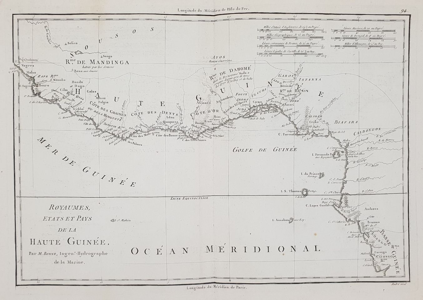
ROYAUMES ETATS ET PAYS DE LA HAUTE GUINEE
ROYAUMES ETATS ET PAYS DE LA HAUTE GUINEE | Rare and modern books | Rigobert Bonne (1727-1755), André
ROYAUMES ETATS ET PAYS DE LA HAUTE GUINEE
ROYAUMES ETATS ET PAYS DE LA HAUTE GUINEE | Rare and modern books | Rigobert Bonne (1727-1755), André
Payment methods
- PayPal
- Credit card
- Bank transfer
- Pubblica amministrazione
- Carta del Docente
Details
- Author
- Rigobert Bonne (1727-1755), André
Description
Mappa originale di Rigobert Bonne che raffigura il Golfo di Guinea, antico Regno della Guinea Superiore. AUTORE: Rigobert Bonne (1727-1755), André DATA: 1780 circa TECNICA: incisione su acciaio DIMENSIONI FOGLIO: 29x42 cm DIMENSIONI INCISIONE: 25x36,5 cm CONDIZIONI: Buone condizioni. Piegatura verticale. Piccol gora d'umidità all'angolo superiore destro<BR> Map by Rigobert Bonne featuring the Gulf of Guinea, former reigns of Upper Guinea (modern-day Senegal, Guinea, Sierra Leone, Liberia, Cote D’Ivoire, Ghana, Togo, Benin, Nigeria, Cameroon, Gabon, Congo, Angola). Author: Rigobert Bonne (1727-1755), André Date: 1780 circa Technique: etching on steel Leaf Dimension: 29x42 cm (11.4x16.5 inches) Engravin Dimension: 25x36,5 cm (9.8x14.4 inches) Conditions: Good conditions. Vertical folding. Little water stain in the upper right corner.
