Das Norder theil des Lands Brasilien….
Das Norder theil des Lands Brasilien…. | Prints | MERIAN "il vecchio" Matthaus

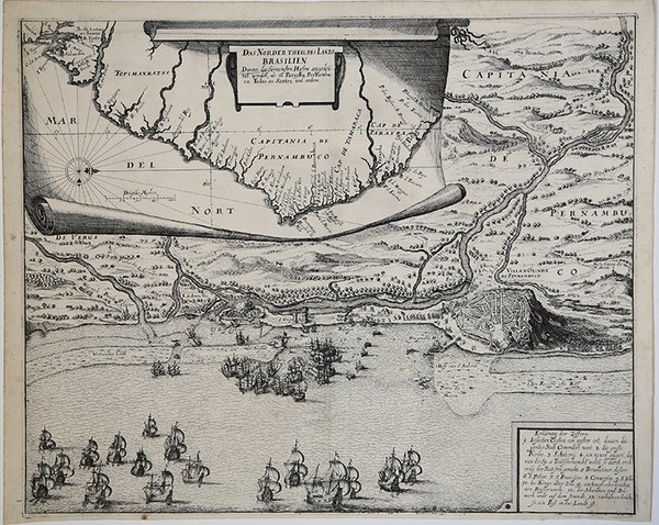
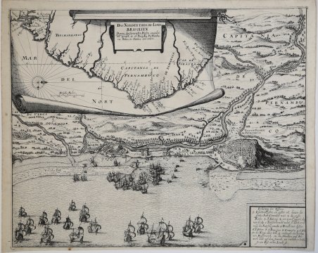
Das Norder theil des Lands Brasilien….
Das Norder theil des Lands Brasilien…. | Prints | MERIAN "il vecchio" Matthaus
Payment methods
- PayPal
- Credit card
- Bank transfer
- Pubblica amministrazione
- Carta del Docente
Details
- Year of publication
- 1633
- Place of printing
- Francoforte
- Size
- 450 X 370
- Engravers
- MERIAN "il vecchio" Matthaus
Description
Carta geografica raffigurante parte del Pernambuco, con le città di Olinda e Recife. La carta è tratta dall'ultima edizione de "Grandi Viaggi" di Johannes Theodor de Bry, curata da Mattheus Merian ed edita a Francoforte nel 1633-34. Incisione in rame, in ottimo stato di conservazione. The map, displayed on a roll above, shows the coastal contours, with place-names along the Brazilian coast near Recife and Olinda, and below is a bird's-eye view of the siege with ships and the movements of the troops.With the hope of taking control of the sugar trade in Brazil, the fleet of the Dutch West India Company attacked Recife. While the troops landed further north, the fleet, under the command of Admiral Lonq, tried to force an entrance to the harbour but his ships were repulsed by the Portuguese, under the command of Albuquerque. The siege lasted two weeks and in the end the Dutch finally broke through. The Portuguese, however, not wishing their rivals to benefit from their labours, burnt all their sugar warehouses and shipping, the loss of which was estimated at two million ducats. Cfr.
