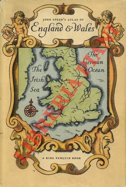
An Atlas of Tudor England and Wales. Forty Plates from John Speed's Pocket Atlas of 1627.
Rare and modern books
(Taylor E.G.R.)
Penguin Books,
1953
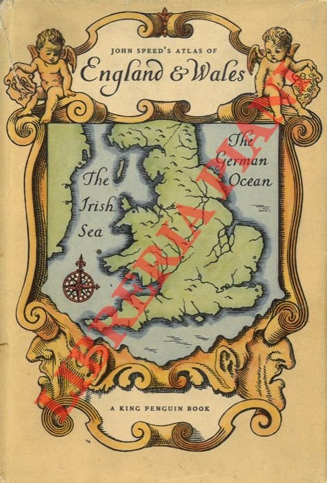
An Atlas of Tudor England and Wales. Forty Plates from John Speed's Pocket Atlas of 1627.
Rare and modern books
(Taylor E.G.R.)
Penguin Books,
1953
7.00 €
(BADIA DI MONTE SAN PIETRO,
Italy)
Payment methods
- PayPal
- Credit card
- Bank transfer
- Pubblica amministrazione
- Carta del Docente
Details
- Year of publication
- 1953
- Author
- (Taylor E.G.R.)
- Publishers
- Penguin Books
- Keyword
- (Storia della geografia - Storia della cartografia - Antiche, atlanti geografici - Inghilterra - Galles)
Description
London, Penguin Books, 1953, 16mo (cm. 18 x 12,5) legatura cartonato con copertina e sovraccoperta illustrate a colori, pp. 32 + 40 carte a colori a piena pagina (The King Penguin Books, 61) .