Decorative Printed Map of the 15th to 18th Centuries
Rare and modern books
Skelton, R. A.
Spring Books,
1965
Decorative Printed Map of the 15th to 18th Centuries
Rare and modern books
Skelton, R. A.
Spring Books,
1965
5.75 €
(Hyde,
United Kingdom)
Payment methods
- PayPal
- Credit card
- Bank transfer
- Pubblica amministrazione
- Carta del Docente
Details
- Year of publication
- 1965
- Place of printing
- London
- Author
- Skelton, R. A.
- Publishers
- Spring Books
- Size
- 11 x 8.75 inches
- Keyword
- Geography, History, Maps
- Cover description
- No Jacket
- Binding description
- Hard Cover
- Dust jacket
- False
- State of preservation
- Very Good
- Languages
- English
- Binding
- Hardcover
- Inscribed
- False
- First edition
- False
Description
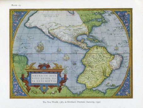
Ex-library book with usual (minimal) marks and stamps. Light foxing to last few pages. No other marks or inscriptions. No creasing to covers or to spine. A very clean very tight copy in a library binding with very slightly marked boards, bumping to lower edge and minor rubbing to corners. All maps in excellent condition. 84 plates of maps plus text on 80pp. This book serves as a resource of specimens of maps and as an elementary guide to the study of maps printed from wood blocks or copper plates between the 15th and the 18th centuries.