Arabian Sea
Prints
Admiralty Charts
Arabian Sea
Prints
Admiralty Charts
200.00 €
(Gavirate,
Italy)
Payment methods
- PayPal
- Credit card
- Bank transfer
- Pubblica amministrazione
- Carta del Docente
Details
- Size
- mm 664x1202
- Edition
- '900
- Designers
- Admiralty Charts
Description
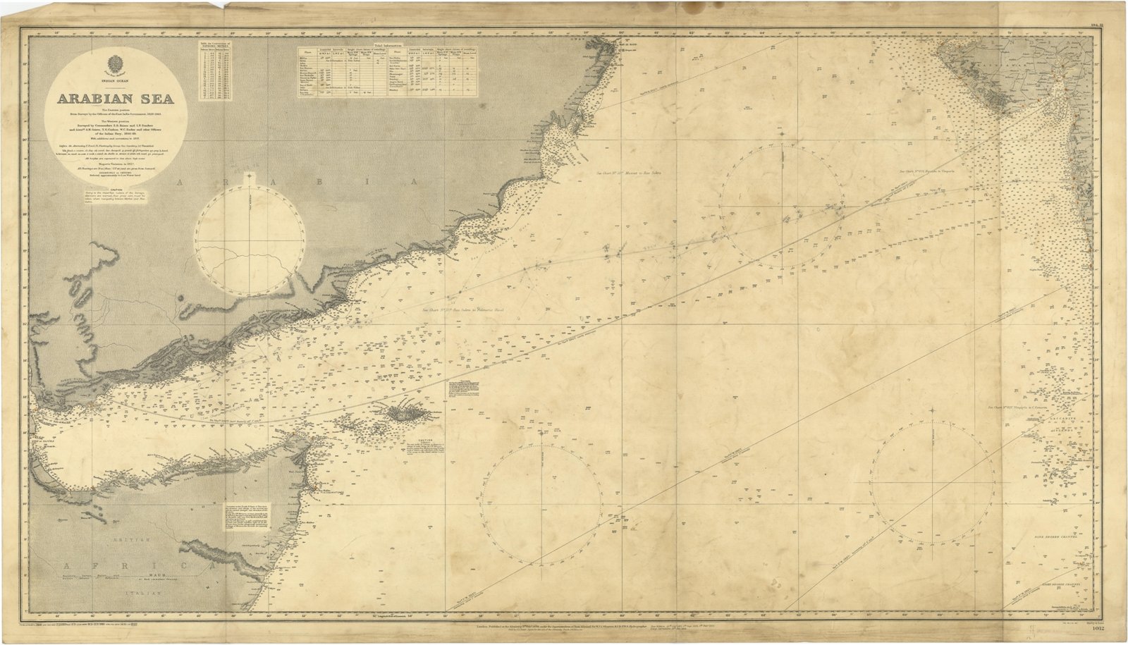
Arabian Sea - The Eastern portion from Surveys by the Officers of the East India Government 1828-1863. The Western portion Surveyed by Commanders S.B. Haines and I.P. Sanders and Lieut. A.M. Grieve, T.G. Carless, W.C. Barker and other Officers of the Indian Navy, 1836-49. With additions and corrections to 1897. London Published at the Admiralty 3rd Feb. 1899, under the Superintendence of Rear Admiral Sir W.J.L. Wharton, Hydrographer. Small corrections: 1931. Editorially folded
Anno di pubblicazione: '900