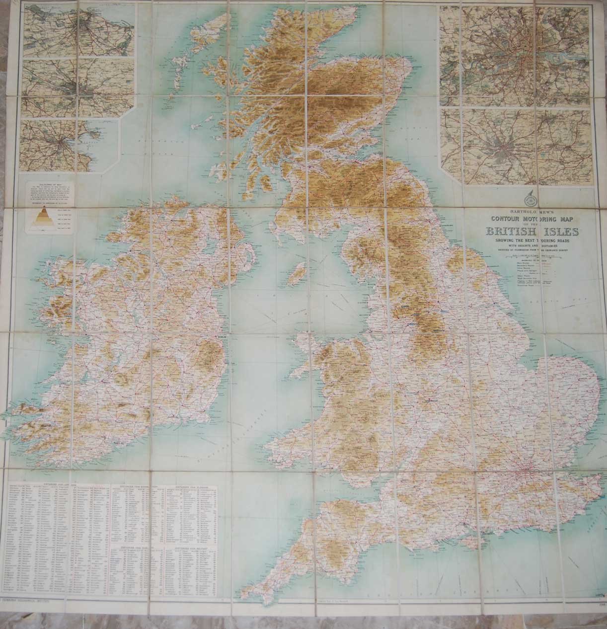
BARTHOLOMEW'S CONTOUR MOTORING MAP OF THE BRITISH ISLES. - Showing the best touring roads.
Prints
(1910 circa)
BARTHOLOMEW'S CONTOUR MOTORING MAP OF THE BRITISH ISLES. - Showing the best touring roads.
Prints
(1910 circa)
40.00 €
(Milano,
Italy)
Payment methods
- PayPal
- Credit card
- Bank transfer
- Pubblica amministrazione
- Carta del Docente
Details
- Year of publication
- (1910 circa)
- Place of printing
- Matthews & Brooke,
- Publisher
- Bradford,
- Keyword
- STORIA GEOGRAFIA, GRAN BRETAGNA INGHILTERRA IRLANDA
Description
Cm. 91x101, Carta geografica raffigurante le strade della Gran Bretagna e dell'Irlanda, telata, divisa in 40 riquadri. Scala 1:1.000.000. In buono stato (good copy).